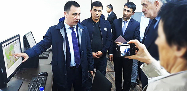
In December 2017, the government of Uzbekistan reformed the regulatory framework for geospatial information and services as part of the Modernization of Real Property Registration and Cadastre project by adopting the open, non-classified World Geodetic System (WGS-84) as a national standard. Prior to the reform, all detailed and precise geospatial data including land tenure records were classified because of secret geodetic coordinates, and could not be accessed, shared and disseminated openly on the internet.
 © Gulnoza Ahmedova, GosKomZemGeodezKadastr
The amendment enables development and open access to a comprehensive National Geographic Information System for government agencies, civil society, businesses and the general public. Open access to digital fundamental geospatial datasets, like base maps and cadastral maps and location based services employing modern geospatial technologies, boosts economic development by underpinning efficient, evidence based decisions made by the authorities on the responsible governance of land and other natural resources. The project is financed by the World Bank and supported by FAO through the Investment Centre.
Source: www.fao.org/tenure