Geoinformation Science (GISc) is a new science, however, has its roots thousands of years. It integrates three traditional geosciences (firstly, geodesy as the science of precise spatial data acquisition; secondly, geography as the science of studying human and physical aspects; finally, cartography as the science of making maps. The integration of these sciences is based on the rapidly evolving computer science. The methods of GISc are widely applied in other sciences, essential in decision making for sustainable development.
One of the main aim of DSinGIS project is to Enhance the scientific level of academic and research staff at UZ partner universities in the field of GISc.
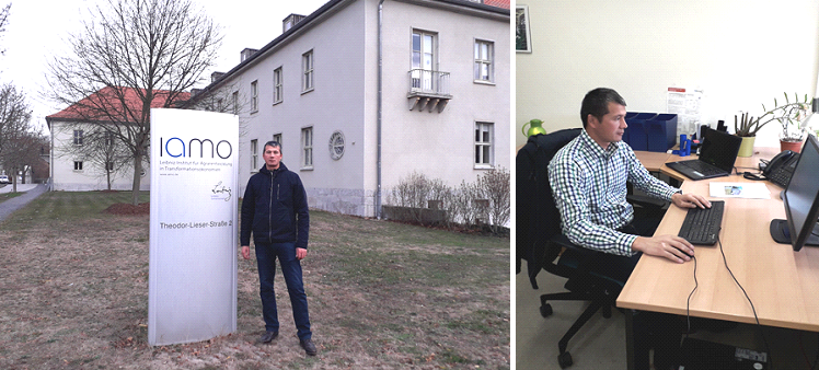
Taking into account the aim of the project, DSinGIS had a call for young researcher mobility in short term period at partner universities. Young researcher Yakhshimurad Khudaybergenov from department of Geography, Karakalpak State University, Uzbekistan successfully admitted and shortlisted from the first call of the mobility and had opportunity two-month research-visit from November-December 2018 at Leibniz Institute of Agricultural Development in Transition Economies (IAMO), Germany. During this period of stay he continued his research under the supervision guidance of Dr. Daniel Muller and near assistance of Dr. Florian Schierhorn in the sphere of landscape ecology and remote sensing on the research topic “Numerical analysis of the relief for the post deltaic landscapes in the Amudarya river delta“.
Moreover, during this mobility Ya.Khudaybergenov had great opportunity to be familiarize with new ideas about model-oriented remote sensing analysis, vegetation density dynamic research and new approaches to potential rangeland productivity assessment in changing climatic conditions which are very useful for applying in nowadays global problem of Aral Sea.
“The main cause of my choice is the negative natural changes in the region, including the Amudarya delta, as a result of the drying up of the Aral Sea, and I think it will have a great impact on the study of modern GIS technologies. In recent years, more than 100 lakes in the delta have dried up due to poor access to the Amudarya River. As a result, the desertification occurred in the Amudarya delta and the landscape changed in the area. Studying and assessing trends in landscapes in the Amudarya delta through studying and analyzing thesechanges in modern GIS programs. Landsat satellite images can be identified using the GIS programs to determine the landscape change and vegetation index (NDVI) in the Amudarya delta and nowI am working on scientific article and will make the first results in annual GI conference in Samarkand in October 2019” states Yakhshimurad Khudaybergenov.